Cookie preferences
Active filters
LATEST NEWS


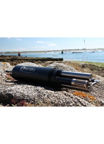
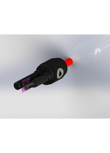
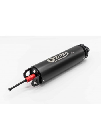
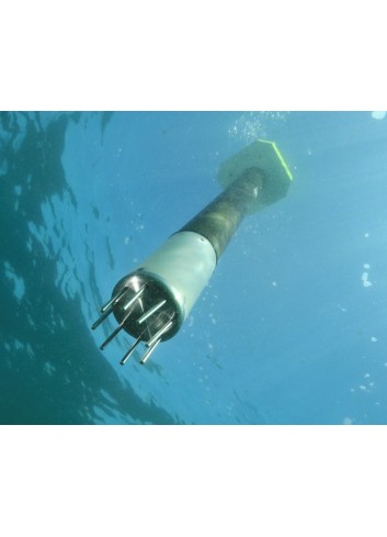
WiMo multiparameter sonde
The WiMo sonde can measure up to 20 water parameters as you can plug up to seven sensors at a time.
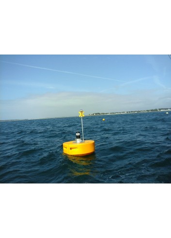
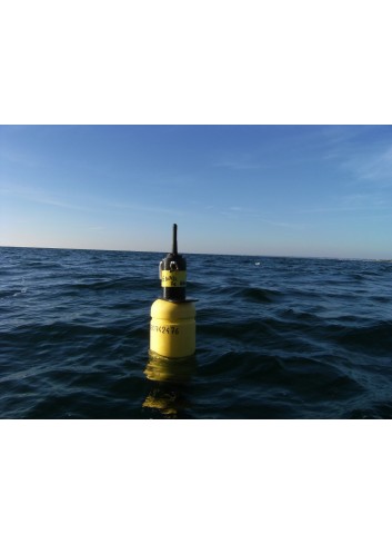
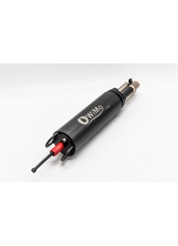
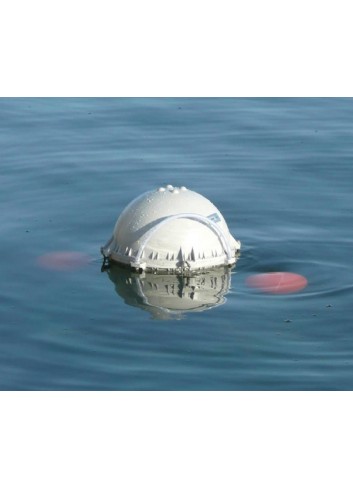
WiMo BUOY
The WiMo sonde can measure up to 20 water parameters as you can plug up to seven sensors at a time in a small float or buoy.
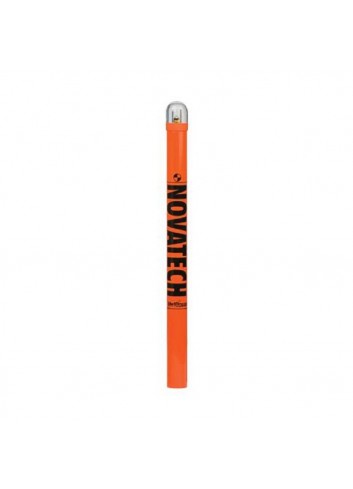
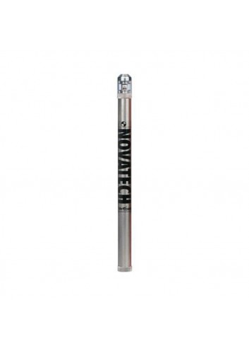
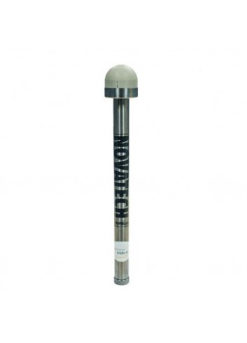
NOVATECH FLASHERS
NOVATECH™ Beacons and Flashers are an integral component of ocean exploration and study. Flashers provide the added insurance of a visual aid with an intense flashing light to assist in recovery missions.
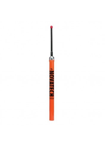
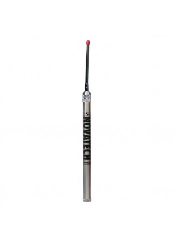
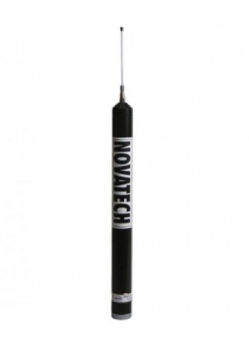
NOVATECH RADIO BEACONS
The NOVATECH™ Tracking & Monitoring products allow for recovery insurance in harsh submarine environments.
PROFILING FLOATS ARVOR - PROVOR
NKE Instrumentation is involved in the international ARGO program in order to supply profiling floats measuring temperature and salinity.
NOVATECH SATELLITE BEACONS
NOVATECH™ Satellite Beacons provide near real-time data and recovery coordinates, via Iridium® or Argos satellites, offering different options to suit individual deployment needs.
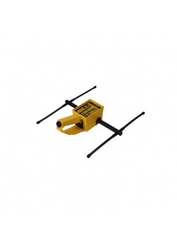
DIRECTION FINDER DF-500N
The NOVATECH™ DF-500N is a hand-held direction finder (DF) designed to operate in the most demanding field conditions on land or at sea.
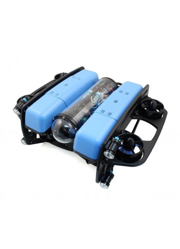
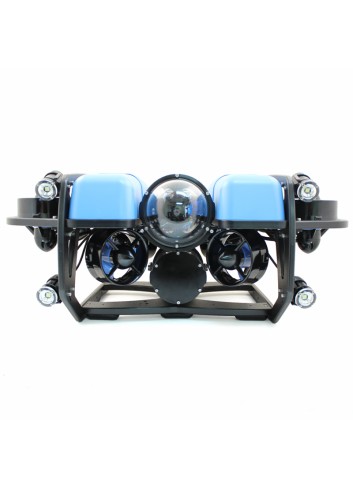
BLUEROV2
Ocean research, exploration and adventures are easily accessible with our flagship product, the BlueROV2.
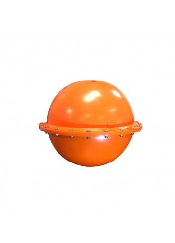
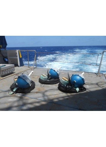
iSPHERE DRIFTING BUOY
The iSPHERE is a uniqueThe iSPHERE is a unique buoy designed for oil spill tracking.
DRIFTER CODE-DAVIS
The CODE/DAVIS drifter is equipped with a sea surface temperature sensor, GPS receiver and the option of either Iridium® or ARGOS based satellite telemetry.
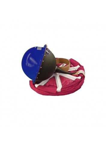
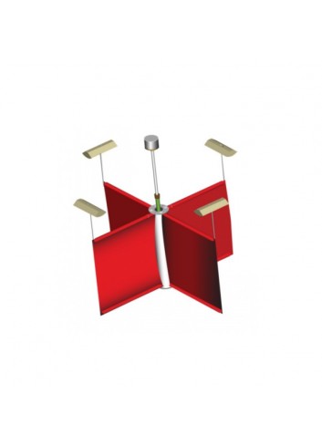
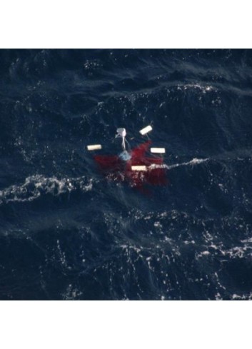
SURFACE VELOCITY PROGRAM DRIFTING BUOY
The Surface Velocity Program (SVP, iSVP) drifting buoy is a Lagrangian current-following drifter, designed to track water currents (15 metres depth) beneath the ocean surface.
DRIFTER SC-40
The SC40 drifters are used mostly in offshore in order to monitor the current at sea surface for oceanographic studies and also the oil spill trajectories.
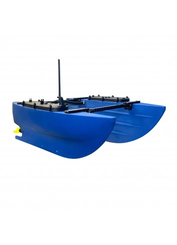
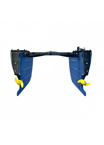
BLUEBOAT
The BlueBoat is the most affordable robotic surface vessel on the planet. With an innovative hull design, endless expansion possibilities and open source BlueOS software, it is the ideal platform for hydrographic surveys and robotic system development.